
Japan is under a tsunami warning after a 7.2 magnitude earthquake shook the coast.
Initial tsunami waves are confirmed to have already hit the coast at Mutsu Ogawara Port, with half-metre waves reported. Those could increase in other areas.
The earthquake was 84km east of Misawa, Japan, with warnings for Hokkaido, Aomori and Iwate issued as a potential three-metre high tsunami is heading towards the coast.
Locals have been warned to evacuate as quickly as possible, as the tsunami waves can hit repeatedly.
Those in the affected areas are urged to keep away from coasts and river mouths, which could overflow.
The quake struck at around 11.15 pm local time, around 50 kilometres beneath the seabed.
The US Geological Survey has also reported that a second 7.6 magnitude quake struck in the city of Misawa.

After the deadly 2011 earthquake in Japan, tsunami waves measured up to 40 metres in some areas. Authorities have said this tsunami will reach a height of up to 3 metres.
Authorities are checking for risks to nuclear plants
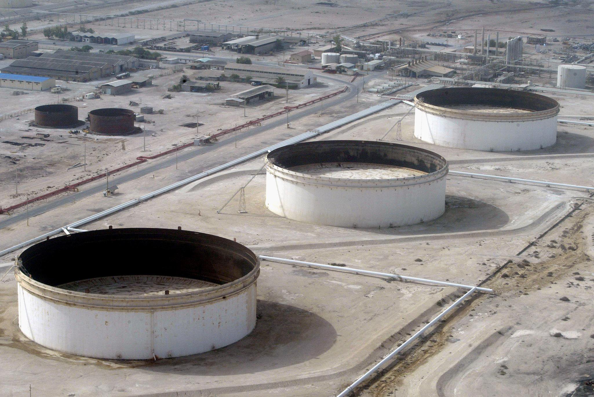
Authorities at nuclear fuel processing plants are working to see if any abnormalities were caused by the earthquake this afternoon.
A nuclear fuel reprocessing plant in the Aomori Prefecture, one in Mutsu City, and another in Higashidori Village are being inspected.
The Onagawa Nuclear Power Plant in Ishinomaki City and Onagawa Town, Miyagi Prefecture, is also being inspected.
Fukushima, which was seriously damaged during the 2011 earthquake and tsunami, is also undergoing checks, according to Tokyo Electric Power Company.
NHK has said there has been no change so far in the readings at monitoring posts measuring radiation levels around the nuclear power plant.
How is the size of an earthquake measured?
Magnitude is the size of the earthquake, and is expressed as a number.
The U.S. Geological Survey (USGS) explains on its website that the time, location, and magnitude of an earthquake can be determined from the data recorded by a seismometer, which records the vibrations that travel through the Earth.
According to USGS, a magnitude 5.3 is a moderate earthquake while a magnitude 6.3 is a strong earthquake.
The one which hit the coast of Japan moments ago measured in at a magnitude 7.2.
The 2011 Japanese earthquake which killed over 15,000 and left over 6,000 people injured had a magnitude of 9.1.
Get in touch with our news team by emailing us at webnews@metro.co.uk.
For more stories like this, check our news page.